Drone photogrammetry
3D Mapping
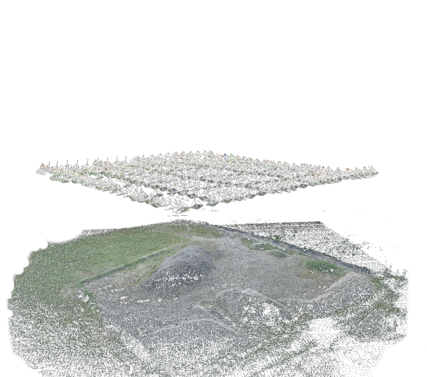
Terrestrial photogrammetry is a fantastic way to scan in 3D. But many scenes require us to gain height. In many cases, aerial photogrammetry by drone is therefore essential.Enabling 3D scanning devices such as LiDAR or cameras has long required the use of expensive and inaccessible aircraft, so that aerial 3D scanning was only carried out on the scale of entire territories , in order to to rationalize costs and benefit from largely public funding.This inability of 3D scanning devices to easily gain height was for a long time the result of technological divergence . Scanning devices were heavy and bulky, while smaller aircraft such as drones still had very little carrying capacity. Given the many opportunities offered by bringing these two worlds together, scientific and industrial research has ended up enabling technological convergence.
Multispectral Mapping For Agriculture
with Drones
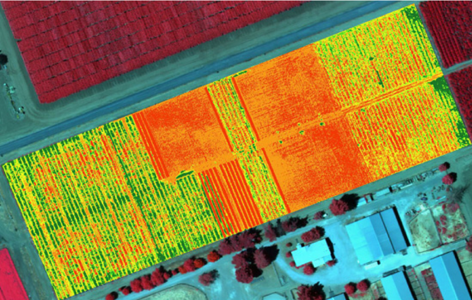
Nothing makes a farmer proud like a healthy harvest. You take pride in feeding people with your hard work, but you also grapple with razor-thin margins and operate your business at the whims of mother nature. Fortunately, there are more technologies and tools available than ever before for farmers to protect, nurture, and maximize the productivity and health of their farms. In particular, precision agriculture practices like remote sensing have enabled farmers to identify issues early, act with assurance, and eliminate guesswork. As remote sensing data becomes more accessible, the wisest of farmers and agronomists are eagerly integrating this information into their decision-making processes to stabilize income while minimizing impact on the environment.